Trough of 'Kristine' to trigger rains in Southern Luzon

MANILA, Philippines — The trough of Severe Tropical Storm Kristine (international name: Trami) will bring scattered rains and thunderstorms across parts of Southern Luzon, even though it has exited the Philippine area of responsibility (PAR).
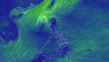
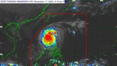
As of 3:00 a.m. on Saturday, October 26, PAGASA said that Kristine was spotted 630 kilometers west of Bacnotan, La Union.
It is bearing maximum sustained winds of 95 kilometers and gusts up to 115 kph while moving westward at 20 kph outside PAR.
PAGASA is monitoring another tropical storm, Kong-Rey, located approximately 1,825 kilometers east of Central Luzon.
Kong-Rey carries sustained winds of 65 kph and gusts up to 80 kph, heading northwest at 35 kph.
PAGASA said that Kristine's trough will bring cloudy skies, scattered rains and thunderstorms to Occidental Mindoro and Palawan on Saturday.
Visayas, Zamboanga Peninsula and Northern Mindanao will likely experience cloudy skies accompanied by scattered rain showers and thunderstorms due to the southwesterly wind flow
Metro Manila and other regions should expect partly cloudy to cloudy skies with isolated rain showers or thunderstorms from localized thunderstorms.
The state weather bureau warned residents against possible flash floods and landslides caused by moderate to heavy rainfall.
Luzon will experience moderate to strong southwest to southeast winds, resulting in rough coastal waters with waves between 2.8 and 4.0 meters.
For Visayas and Mindanao, moderate wind conditions from the southwest to west are expected, producing moderately rough seas with waves ranging from 1.5 to 2.5 meters.
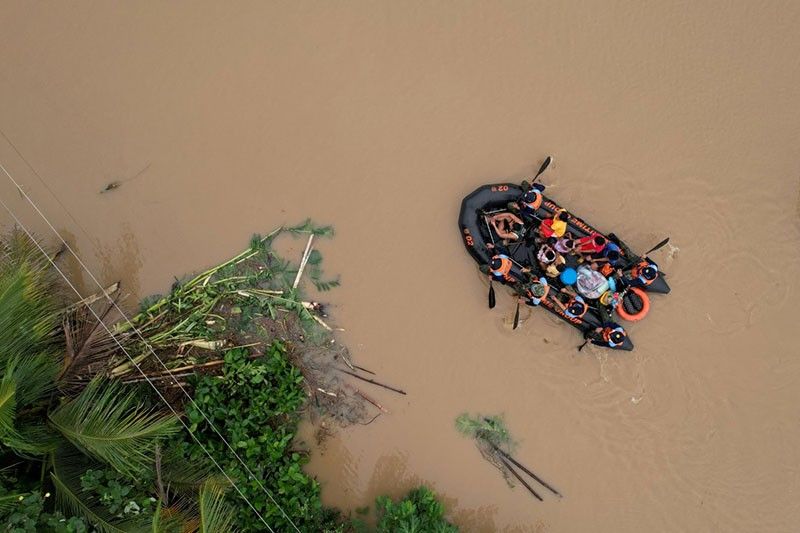
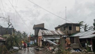
Severe Tropical Storm Kristine, which exited the PAR at 2 p.m. on Friday, displaced tens of thousands of people due to flooding, with the death toll rising as new reports of victims emerged.
PAGASA has warned that Kristine could potentially loop back toward the Philippines, depending on the development of other cyclones, which include Kong-Rey.
- Latest
- Trending


