Gener to exit PAR September 18; habagat to dump rains over parts of Philippines
MANILA, Philippines — Tropical depression Gener will leave the Philippine area of responsibility by tonight or Wednesday morning (September 18), but several parts of the country could still see heavy rainfall in the next 24 hours due to the southwest monsoon.
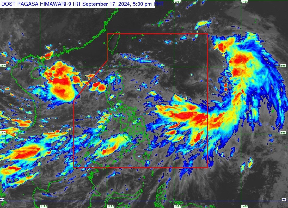
In its 5 p.m. tropical cyclone bulletin, state weather bureau PAGASA said Gener is forecast to continue moving westward with limited intensification within the forecast period.
Moving at a speed of 30 kilometers per hour (kph), Gener was carrying peak winds of 55 kph its center, with gusts reaching up to 70 (kph)
Wind signals. PAGASA has retained Signal No. 1 in some parts of Luzon, warning against strong winds that could have a minimal to minor threat to life and property.
The areas under Signal No. 1 are the following:
- Ilocos Norte
- Ilocos Sur
- La Union
- Western portion of Pangasinan (Sual, Burgos, Dasol, Mabini, Infanta, Labrador, City of Alaminos, Bani, Bolinao, Anda, Agno)
Meanwhile, the southwest monsoon enhanced by Gener and tropical storm Pulasan could bring strong to gale-force gusts over the following areas:
- Today: Batanes, MIMAROPA, Bicol Region, Visayas, and Mindanao.
- Wednesday (September 18): Zambales, Bataan, Pampanga, Bulacan, Metro Manila, CALABARZON, MIMAROPA, Bicol Region, Visayas, and Mindanao.
- Thursday (September 19): Isabela, Aurora, Pangasinan, Zambales, Bataan, Metro Manila, CALABARZON, MIMAROPA, Bicol Region, and Western Visayas
PAGASA said the southwest monsoon is also expected to bring heavy to intense rain today to tomorrow afternoon in Palawan, Occidental Mindoro, Aklan, Antique and Negros Occidental.
Meanwhile, moderate to heavy rainfall is expected in the Bicol Region, parts of MIMAROPA, Western Visayas, Negros Island Region, Zamboanga del Sur, Lanao del Norte, Lanao del Sur, Maguindanao del Norte and Maguindanao del Sur.
PAGASA has warned of rough seas, with waves ranging from 1.0 to 3.5 meters, in the northern seaboards of the Ilocos Region, Cagayan Valley, Zamboanga Peninsula, Northern Mindanao, the seaboard of the Caraga Region, the eastern seaboards of Davao Region and Eastern Visayas, and the southern seaboards of Negros Island Region, Central Visayas, and Eastern Visayas.
Mariners of small seacrafts, especially those inexperienced or with ill-equipped vessels, are advised to avoid these waters.


- Latest
- Trending