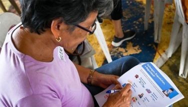
MGB-7 surveys 77 villages in 1st district
CEBU, Philippines - The Mines and Geosciences Bureau (MGB) 7 has assessed seventy-seven barangays in the first district to determine which areas are vulnerable to landslides and flooding.
Geo-hazard mapping has become an important tool for disaster risk reduction and management.
Of the 77 barangays assessed, 21 were in San Fernando, 19 in Minglanilla, 22 in Talisay City, and 15 in Carcar City.
Mines and Geosciences Bureau (MGB) 7 Regional director Loreto B. Alburo said the undertaking is part of government’s continuing effort to ensure that lives and property are protected from landslides and flooding given the adverse and extreme weather that hit the country at certain times of the year.
Loreto said the 1:10,000-scale will provide more details of the area covered by the map which may include the specific physical characteristics or environment of each sitio or ‘’purok’’ in a barangay.
The MGB has given local government units geo-hazard maps with a scale of 1:50,000 and other information, education and communication (IEC) materials such as posters and compact discs (CDs).
The Department of Environment and Natural Resources (DENR)’s National Geohazard Mapping and Assessment Program was created to identify areas in the country susceptible or vulnerable to geologic hazards and increase public awareness in order to lessen or mitigate the negative impacts of these events. (FREEMAN)
- Latest


