Signal No. 3 hoisted as Typhoon Marce intensifies and nears Cagayan
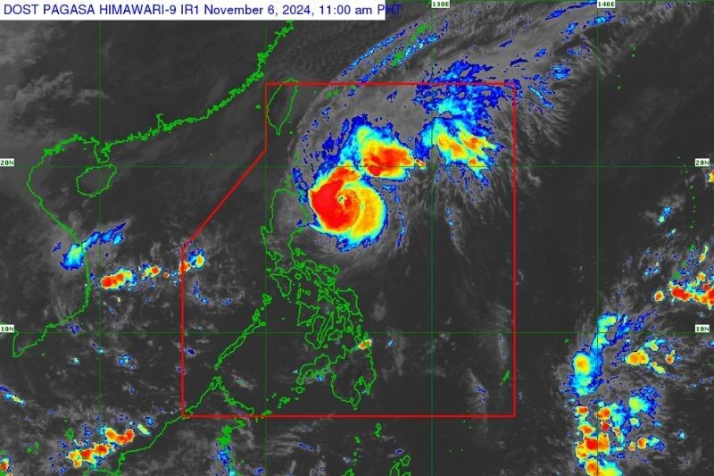
MANILA, Philippines — State weather bureau PAGASA has raised Wind Signal No. 3 for the northeastern portion of mainland Cagayan as Typhoon Marce (international name: Yinxing) intensifies and approaches the region.
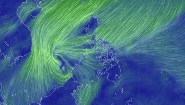
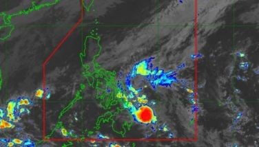
As of 11 a.m. on Wednesday, November 6, the eye of Marce was located 305 kilometers east of Tuguegarao City, Cagayan, or 315 kilometers east of Aparri, Cagayan.
The typhoon is packing peak winds of 150 km per hour (kph) with gusts of up to 185 kph, moving westward at 10 kph.
PAGASA said that Wind Signal No. 4 is the highest Wind Signal they can issue due to Typhoon Marce.
Wind signals
PAGASA placed the following areas under tropical cyclone wind signals:
Signal No. 3, storm-force winds (89 kph to 117 kph)
- northeastern portion of mainland Cagayan (Santa Ana)
Signal No. 2, gale-force winds (62 kph to 88 kph)
- Batanes
- Babuyan Islands
- northern portion of mainland Cagayan (Gonzaga, Lal-Lo, Santa Teresita, Buguey, Gattaran, Baggao, Lasam, Abulug, Camalaniugan, Pamplona, Claveria, Aparri, Ballesteros, Allacapan, Sanchez-Mira, Santa Praxedes, Rizal, Santo Niño, Alcala, Amulung)
- northern portion of Apayao (Calanasan, Luna, Pudtol, Santa Marcela, Flora, Kabugao)
Signal No. 1, strong winds (39 kph to 61 kph)
- Ilocos Norte
- Ilocos Sur
- Abra
- rest of Apayao
- Kalinga
- Mountain Province
- Ifugao
- northern portion of Benguet (Mankayan, Buguias, Kabayan, Bakun, Kibungan, Bokod, Atok)
- rest of mainland Cagayan
- Isabela
- Quirino
- Nueva Vizcaya
- northern portion of Aurora (Dilasag, Casiguran, Dinalungan, Dipaculao, Maria Aurora, Baler)
Storm surge. The state weather bureau has issued a warning for moderate to high-risk, life-threatening storm surges of 2.0 to 3.0 meters above normal tide levels and moderate to rough seas reaching up to 12 meters at most in the next two days.
Affected areas include coastal communities of Batanes, Cagayan, Babuyan Islands, Isabela, Ilocos Norte, Ilocos Sur, northern Zambales, Polillo Islands, parts of Camarines Norte, Northern Samar, Albay and parts of Palawan.
Sea travel is discouraged in these areas, particularly for small vessels. PAGASA has also advised mariners to seek shelter and stay in port until sea conditions improve.
Forecast track
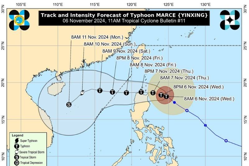
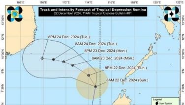
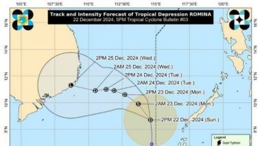
Typhoon Marce will gradually move across the waters east of Cagayan, heading west-northwest on November 6.
It is expected to accelerate westward from November 7 to November 9, traversing the Babuyan Channel and the northern portion of the West Philippine Sea.
PAGASA said Marce will likely make landfall in the Babuyan Islands or the northern parts of mainland Cagayan, Ilocos Norte, and Apayao on Thursday afternoon, November 7, or Friday, November 8.
The typhoon is also anticipated to reach its peak intensity on November 6. While it may slightly weaken due to land interaction with mainland Luzon, it will remain a typhoon within the Philippine area of responsibility.
- Latest
- Trending


