


Todays Weather
July 15, 2004 | 12:00am
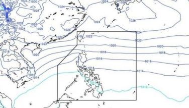
Tropical storm "Julian" has accelerated. At 4 p.m. yesterday, the eye of "Julian" was estimated at 110 kms north-northeast of Basco, Batanes with strongest sustained winds of 65 kph near the center and gustiness of up to 80 kph.
It was moving west-northwest at 19 kph toward the Batanes-Taiwan area. It is forecast to be at 440 kms northwest of Basco this afternoon.
Public Storm Warning Signal No. 2 remains hoisted over the Batanes group of islands, which will have winds of 61-100 kph.
Public Storm Warning Signal No. 1 is in effect over Ilocos Norte, Apayao and Cagayan, including the Babuyan group of islands, which will have winds of 30-60 kph.
Meanwhile, an intertropical convergence zone affects Southern Luzon, the Visayas and Mindanao.
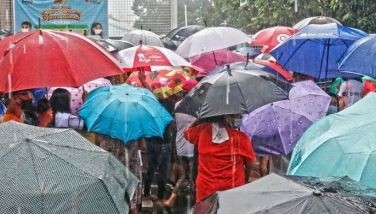
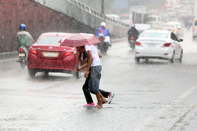
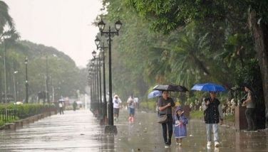
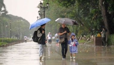
The Batanes group of islands will have stormy weather and rough to very rough coastal waters. The rest of extreme Northern Luzon will have rains and gusty winds, and moderate to rough seas.
The rest of the country will be mostly cloudy with scattered rainshowers and thunderstorms, and will have slight to moderate seas.
It was moving west-northwest at 19 kph toward the Batanes-Taiwan area. It is forecast to be at 440 kms northwest of Basco this afternoon.
Public Storm Warning Signal No. 2 remains hoisted over the Batanes group of islands, which will have winds of 61-100 kph.
Public Storm Warning Signal No. 1 is in effect over Ilocos Norte, Apayao and Cagayan, including the Babuyan group of islands, which will have winds of 30-60 kph.
Meanwhile, an intertropical convergence zone affects Southern Luzon, the Visayas and Mindanao.
The Batanes group of islands will have stormy weather and rough to very rough coastal waters. The rest of extreme Northern Luzon will have rains and gusty winds, and moderate to rough seas.
The rest of the country will be mostly cloudy with scattered rainshowers and thunderstorms, and will have slight to moderate seas.
| Temperature Forecast | Low | High |
| Metro Manila | 23° | 33° |
| Baguio City | 16° | 23° |
| Tagaytay City | 24° | 31° |
| Subic | 24° | 33° |
| Clark Zone & Lahar Areas | 22° | 32° |
| Metro Cebu | 24° | 31° |
| Metro Davao | 24° | 31° |
| Cagayan De Oro | 22° | 32° |
| Tidal Predictions along Manila Bay: |
| High tide at 8:04 a.m. at 1.16 meters |
| Low tide at 5:44 p.m. at 0.05 meter |
| Sunrise: 5:34 A.M. |
| Sunset : 6:29 P.M. |
BrandSpace Articles


<
>
- Latest
- Trending
Trending
Latest
Trending

By Ian Laqui | 3 days ago
By Jean Mangaluz | 7 days ago

By Dominique Nicole Flores | 6 days ago

11 days ago

Latest


By Dominique Nicole Flores | 9 days ago
By Ian Laqui | 10 days ago
12 days ago

December 25, 2024 - 2:26pm

Recommended
January 9, 2025 - 12:00am
January 8, 2025 - 12:00am

3 days ago
January 5, 2025 - 12:00am
