UN forecasts La Niña could help lower temperatures this year

GENEVA, Switzerland — The return of the cooling La Niña weather phenomenon this year should help lower temperatures somewhat after months of global heat records, the United Nations' weather agency said Monday.
The impact is likely to be felt in the next few months because the warming El Niño weather pattern—which has helped fuel a spike in global temperatures and extreme weather around the world since mid-2023—"is showing signs of ending", the UN's World Meteorological Organization said in its latest update.
The WMO warned, however, that global temperatures would continue to rise in the long term due to human-induced climate change, which continues to make extreme weather worse and upend seasonal rainfall and temperature patterns.
La Niña refers to the cooling of the ocean surface temperatures in large swathes of the tropical Pacific Ocean, coupled with winds, rains and changes in atmospheric pressure.
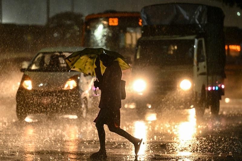
In many locations, especially in the tropics, La Niña produces the opposite climate impacts to El Niño, which heats up the surface of the oceans, leading to drought in some parts of the world and triggering heavy downpours elsewhere.
The WMO said there was a "60 percent" chance of La Niña conditions in the period from July to September and a "70 percent" likelihood during August-November.
The chances of El Niño redeveloping are negligible, it added.
Every month since June 2023, when El Niño returned, has set a new high temperature record, and 2023 was by far the warmest year on record globally.
The WMO said the planet would continue to heat up overall from the use of fossil fuels that produce greenhouse gases.
Man-made global heating
"The end of El Niño does not mean a pause in long-term climate change, as our planet will continue to warm due to heat-trapping greenhouse gases," WMO deputy secretary general Ko Barrett stressed.
"Exceptionally high sea surface temperatures will continue to play an important role during next months."
Much of the planet's excess heat from climate change is stored in the oceans.
In the United States, the National Oceanic and Atmospheric Administration has already factored the expected La Niña into its forecasts for this year's Atlantic hurricane season.
The NOAA said it expected four to seven major hurricanes in the Atlantic between June and November.
"The upcoming Atlantic hurricane season is expected to have above-normal activity due to a confluence of factors, including near-record warm ocean temperatures in the Atlantic Ocean, development of La Niña conditions in the Pacific, reduced Atlantic trade winds and less wind shear," the NOAA said on May 23.
The WMO noted that the past nine years had been the warmest on record, even with the cooling influence of a La Niña event that lasted from 2020 to early 2023.
The latest El Niño, which peaked in December, was one of the five strongest on record.
"Our weather will continue to be more extreme because of the extra heat and moisture in our atmosphere," Barrett said.
The WMO has made it a priority to ensure that all regions of the world are covered by early warning systems by 2027, particularly the least well-equipped, such as Africa.
"Seasonal forecasts for El Niño and La Niña, and the anticipated impacts on the climate patterns globally, are an important tool to inform early warnings and early action," Barrett said.
- Latest


