After 'Enteng,' another cyclone likely to form within PAR next week

MANILA, Philippines — The weather bureau is currently monitoring three other tropical cyclone-like vortices (TCLV), with one likely to develop into a full blown tropical cyclone within the Philippine area of responsibility (PAR) next week (September 9 to 10).
PAGASA said in a Facebook post on Monday while it is on alert with Tropical Storm Enteng, it is monitoring three TCLVs over the sea.
The third weather system is forecasted to develop over the eastern portion of the country's vicinity. PAGASA said there is "a high likelihood" of tropical cyclone formation that is projected to enter the area in the next two weeks.
What are they?
TCLVs are broader rotating weather systems that are not yet fully developed into a cyclone, differing from low-pressure areas, or LPAs, which is a region of lower atmospheric pressure that does not necessarily have a structure of a cyclone.
PAGASA expects the first TCLV to intensify in the northern section of PAR, but has a low chance of developing into a tropical cyclone.
The second TCLV, meanwhile, will form in the northeastern portion of the tropical cyclone advisory domain, which is the immediate area outside of the PAR. Cyclones in this domain usually do not impact the country but warrant monitoring and advisories.
'Enteng'
PAGASA also said that Tropical Storm Enteng is forecast to move westwards toward the South China Sea and will leave PAR within this week (September 2 to September 8).
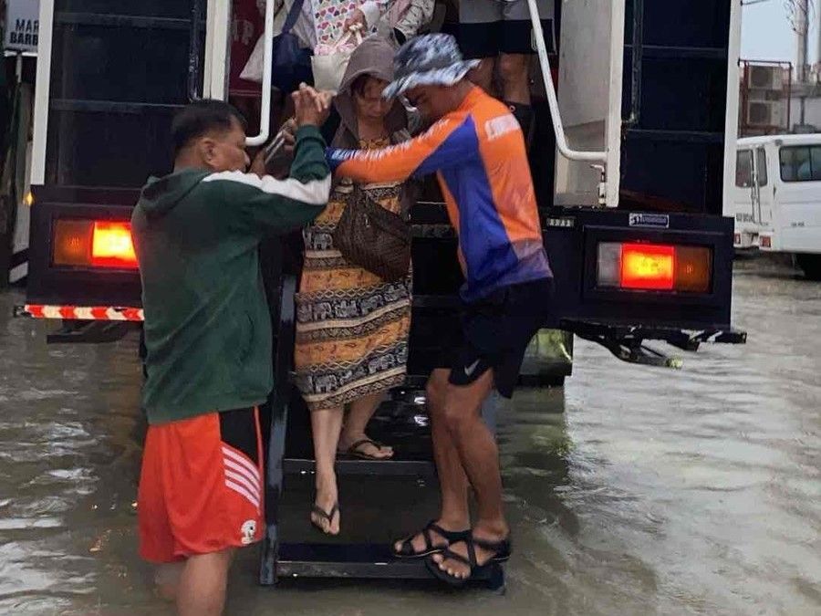
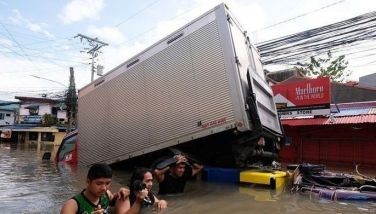
Enteng has dumped rains across the country after intensifying into a tropical storm on Sunday night. Classes and work have been suspended in different regions, including Metro Manila.
- Latest
- Trending


