LPA outside PAR intensifies into tropical depression

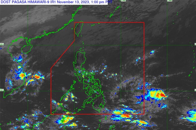
MANILA, Philippines — A low pressure area outside the Philippine Area of Responsibility has intensified into a tropical depression, state weather bureau PAGASA reported Monday.
The tropical depression located 1,540 kilometers east of southeastern Mindanao is expected to enter the PAR late Wednesday or Thursday. Once it does, it will be called “Kabayan”—the country’s first tropical cyclone in November and the 11th this year.
The cyclone may reach typhoon category with peak intensity of 120 km per hour near the center Saturday. Weather forecasters are not ruling out the possibility of the cylone further intensifying prior to its close approach to Eastern Visayas.
“Current track and intensity forecast shows that there is a high likelihood that Tropical Cyclone Wind Signals will be hoisted over eastern portions of Visayas and Mindanao,” PAGASA said.
The passage of the cyclone may bring heavy rainfall over several provinces in Visayas, Mindanao and Bicol region beginning Friday.
PAGASA added that the tropical cyclone may also result in rough to very rough seas over the eastern seaboards of Southern Luzon, Visayas, and Mindanao starting Thursday.
- Latest
- Trending


