LPA to enter PAR Wednesday
MANILA, Philippines — A low-pressure area outside the Philippine area of responsibility (PAR) is expected to develop into a typhoon and will enter the country on Wednesday, according to the Philippine Atmospheric, Geophysical and Astronomical Services Administration (PAGASA).
Weather specialist Obet Badrina said PAGASA is continuously monitoring the low-pressure area (LPA), which “may enter the PAR midweek this week.”
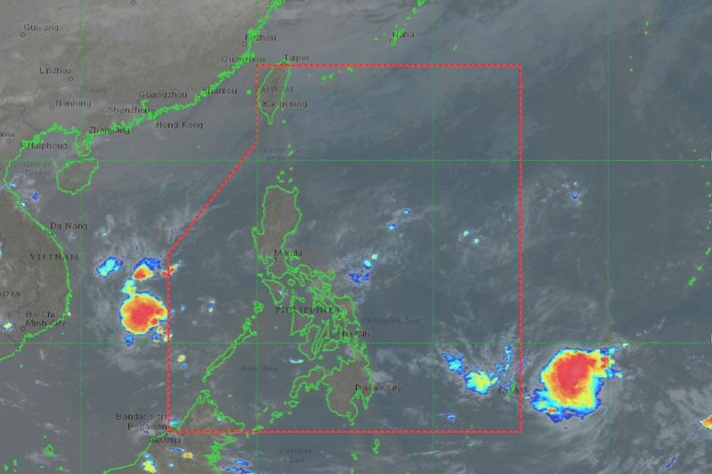
Based on satellite images, the LPA was at 2,045 kilometers east of Northeastern Mindanao. Once it develops into a tropical cyclone and enters PAR, it will be named Kabayan.
Under PAGASA’s tropical cyclone wind signal system, a super typhoon is declared if it has sustained winds of 185 kilometers per hour. The other categories are typhoon (118 to 184 km/h); severe tropical storm (89 to 117 km/h); tropical storm (62 to 88 km/h), and tropical depression when the sustained winds are less than 61 km/h.
“Since it is not yet a typhoon, we cannot still say the path of the tropical cyclone but historically, every month of November, the cyclones pass Visayas in case it will not recurve. It will also affect the Bicol area. Once this LPA develops into a tropical cyclone, we can finally determine its track,” Badrina said.
PAGASA expects at least one to two typhoons this month.
Badrina also said that the northeast monsoon and sheer line are currently affecting Northern and Central Luzon. This monsoon will bring rains, particularly in Northern Luzon, Ilocos region, Cagayan Valley and Cordillera Administrative Region.
“On the other hand, the sheer line can bring cloudy skies and isolated rains in many parts of Central and Southern Luzon,” he said, adding that Visayas and Mindanao would experience localized thunderstorms.
“The rains will range from moderate to strong but will not last long,” Badrina noted.
Rains due to the sheer line are to be expected in Camarines Norte, Quezon, Aurora, Laguna and Rizal provinces. The northeast monsoon or amihan, on the other hand, would also bring isolated rains in Ilocos region and Cagayan Valley from Tuesday to Wednesday.
“For the rest of the country, including Metro Manila and Central Luzon, we expect hot weather and a chance of thunderstorms in the afternoon until the evening,” Badrina said.
As of 6 a.m. yesterday, the water level of Angat Dam also improved to 209.18 meters compared to its previous level 0f 208.99 meters.
Metropolitan Waterworks and Sewerage System division manager Patrick Dizon said the MWSS still expects the water level of Angat to reach its normal high water level of 212 meters despite the threat of the El Niño phenomenon.


- Latest
- Trending