Typhoon Jenny weakens, slows down over Philippine Sea
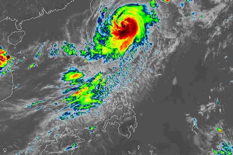
MANILA, Philippines (Update 1, 5:07 p.m.) — Typhoon Jenny (international name: Koinu) weakened slightly as it slowed down over the Philippine Sea, state weather bureau PAGASA said Tuesday.
Jenny’s peak winds weakened to 155 kilometers per hour near the center, and its gusts reached 190 kph.
The typhoon was last spotted 325 km east northeast of Basco in Batanes. It was heading northwest at a speed of 10 kph.
Batanes remained under Signal No. 2, indicating the potential for minor to moderate effects from strong gale-force winds.
Meanwhile, the following areas were placed under Signal No. 1:
- Cagayan including Babuyan Islands
- Northern and eastern portions of Isabela (Maconacon, Divilacan, Palanan, Santa Maria, San Pablo, Tumauini, Cabagan, Ilagan City, San Mariano, Santo Tomas, Dinapigue, Benito Soliven, Naguilian, Gamu, Quirino, Delfin Albano, Quezon, Mallig)
- Apayao
- Northeastern portion of Abra (Tineg, Lacub, Malibcong)
- Northern portion of Kalinga (Balbalan, Pinukpuk, Rizal, City of Tabuk)
- Ilocos Norte
Residents of these areas may experience minimal to minor impacts from strong winds.
What to expect
PAGASA said that Signal No. 3 is likely the highest signal it will issue.
Jenny is expected to bring heavy rains of up to 100 millimeters to Batanes and Babuyan Islands until Wednesday noon.
The typhoon will continue to enhance the southwest monsoon, causing occasional to monsoon rains over the western portions of Central Luzon, Southern Luzon and Visayas in the next three days.
The weather bureau warned of possible flooding and landslides, especially in areas identified as susceptible to these hazards, and in places that have received substantial rainfall in the past few days.
Residents of Aurora, Bataan, Bulacan, Metro Manila, Calabarzon, Bicol region, and most of MIMAROPA and Visayas will experience gusty conditions due to the enhanced southwest monsoon today.
The typhoon is expected to make landfall over the southern portion of Taiwan between late Wednesday and Thursday morning. It will exit the Philippine Area of Responsibility on Thursday.
PAGASA said that the weakening trend of Jenny continued due to “increasing dry air entrainment and vertical wind shear.”
Forecast position
- Oct. 4, 2023 2:00 AM - 245 km east northeast of Itbayat, Batanes
- Oct. 4, 2023 2:00 PM - 200 km north northeast of Itbayat, Batanes
- Oct. 5, 2023 2:00 AM - 190 km north of Itbayat, Batanes
- Oct. 5, 2023 2:00 PM - 290 km northwest of Itbayat, Batanes
- Oct. 6, 2023 2:00 AM - 385 km northwest of Itbayat, Batanes (outside PAR)
- Oct. 6, 2023 2:00 PM - 475 km west northwest of Itbayat, Batanes (outside PAR)
- Oct. 7, 2023 2:00 PM - 600 km west northwest of Itbayat, Batanes (outside PAR)
- Oct. 8, 2023 2:00 PM - 700 km west northwest of Itbayat, Batanes (outside PAR)
— Gaea Katreena Cabico


- Latest
- Trending