Signal No. 1 up in parts of Northern Luzon as 'Jenny' becomes typhoon
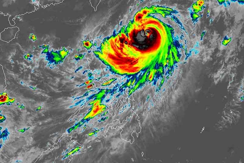
MANILA, Philippines — Several areas in Northern Luzon were placed under Signal No. 1 as cyclone Jenny (international name: Koinu) intensified into a typhoon, weather bureau PAGASA said Monday morning.
Jenny was last located 655 kilometers east of Aparri in Cagayan or 665 km east of Calayan town. Its peak winds increased to 120 km per hour near the center, with gusts reaching 150 kph.
The typhoon is moving northwest at a speed of 15 kph.
PAGASA placed the following areas under Wind Signal No. 1:
- Batanes
- Babuyan Islands
- Eastern portion of mainland Cagayan (Santa Ana, Gonzaga, Buguey, Santa Teresita, Lal-Lo, Baggao, Gattaran, Peñablanca)
- Eastern portion of Isabela (Maconacon, Divilacan, Palanan)
Residents of these areas may experience minimal to minor impacts from strong winds.
What to expect
According to the state weather bureau, Signal No. 2 is the expected highest signal, but the possibility of Signal No. 3 cannot be ruled out at the moment.
Jenny is expected to bring heavy rainfall of up to 100 millimeters to Batanes, Babuyan Islands, and the northern portion of mainland Cagayan.
The typhoon will continue to enhance the southwest monsoon and stir occasional to monsoon rains over the western portions of Central Luzon, Southern Luzon, Visayas and Mindanao in the next three days.
PAGASA warned of possible flooding and rain-induced landslides, especially in areas identified as susceptible to these hazards and in places that have received substantial rainfall over the past few days.
Most of MIMAROPA, Western Visayas and Bicol region will experience gusty conditions due to the enhanced southwest monsoon.
Coastal waters of mainland Cagayan will have moderate to rough seas (2 to 4 meters) due to Jenny. PAGASA urged those with small boats to be cautious and, if possible, avoid going to sea.
The cyclone is expected to make landfall over the southern portion of Taiwan Thursday, then exit the Philippine Area of Responsibility between Thursday evening and Friday morning.
“A landfall or close approach scenario over the Batanes area is still not ruled out, although the likelihood is decreasing,” PAGASA said.
Forecast position
- Oct. 2, 2023 2:00 PM - 580 km east of Calayan, Cagayan
- Oct. 3, 2023 2:00 AM - 420 km east of Basco, Batanes
- Oct. 3, 2023 2:00 PM - 330 km east of Itbayat, Batanes
- Oct. 4, 2023 2:00 AM - 240 km east northeast of Itbayat, Batanes
- Oct. 4, 2023 2:00 PM - 185 km north northeast of Itbayat, Batanes
- Oct. 5, 2023 2:00 AM - 180 km north of Itbayat, Batanes
- Oct. 6, 2023 2:00 AM - 290 km northwest of Itbayat, Batanes (outside PAR)
- Oct. 7, 2023 2:00 AM - 390 km 2est northwest of Itbayat, Batanes (outside PAR)


- Latest
- Trending