PAGASA monitoring LPA off Mindanao
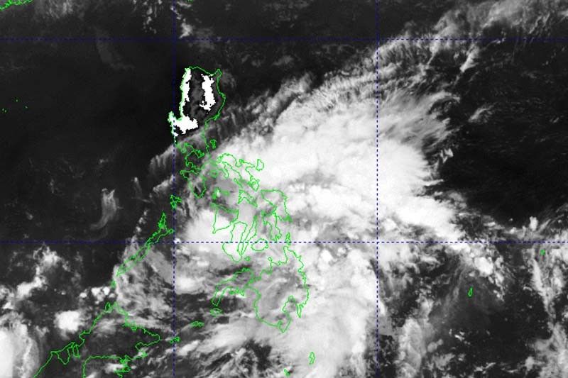
MANILA, Philippines — State weather bureau PAGASA is monitoring a low pressure area off Mindanao which will bring rain to large parts of the Philippines.
The LPA was last spotted over the coastal waters of San Agustin in Surigao del Sur.
Weather specialist Badrina said weather disturbance has a low chance of developing into a tropical cyclone.
But the LPA, along with intertropical convergence zone, will dump rain in Visayas, Mindanao, Bicol region, and Mimaropa. Moderate with at times heavy rain may trigger flash floods or landslides.
Meanwhile, other parts of Luzon, including Metro Manila, will continue to experience warm weather.
“We expect the LPA will dissipate in the next few years. But because of the ITCZ, we’ll continue to have cloudy skies in large parts of Visayas and Mindanao,” Badrina said.
PAGASA issued Tuesday an El Niño Alert, indicating a high chance the weather phenomenon associated with dry spells and drought will develop within the next two months. El Niño will persist until the first quarter of 2024. — Gaea Katreena Cabico


- Latest
- Trending