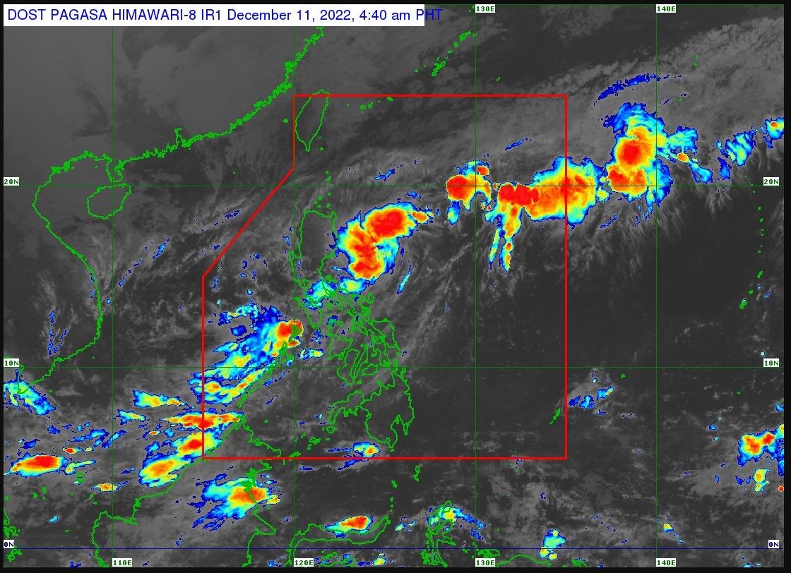
'Rosal' intensifies, may develop into 'low-end tropical storm'

MANILA, Philippines – Tropical Depression “Rosal” continues to intensify on Sunday morning as it moves east northeastward, with state weather bureau forecasting that it may still develop into a “low-end tropical storm” in the next 24 hours.
According to the the Philippine Atmospheric, Geophysical and Astronomical Services Administration's 11 a.m. bulletin, the center of Rosal was last estimated 420 kilometers east northeast of Casiguran in Aurora or 455 km east of Tuguegarao City in Cagayan, moving at 15 kph. It has winds of 55 kph and gusts of up to 70 kph.
No tropical cyclone wind signal has been hoisted, but Rosal is expected to bring rainshowers and thunderstorms over Calabarzon, the north part of Palawan and Calamanian Islands, Oriental Mindoro, Occidental Mindoro, and Marinduque.
It is also seen to bring gusts over Batanes and Babuyan Islands and strong breeze to near-gale strength over Ilocos Norte, the north and eastern parts of Cagayan, the eastern part of Isabela, Calaguas Islands, and the north part of Catanduanes.
Rosal is forecast to weaken by late Monday and may be embedded by the leading edge of the monsoon come late Tuesday or Wednesday.
Rosal’s forecast position
-
Dec 11 - Sunday, 8 p.m. - 580 km East of Tuguegarao City, Cagayan
-
Dec 12 - Monday, 8 a.m. - 760 km East of Calayan, Cagayan
-
Dec 12 - Monday, 8 p.m. - 855 km East of Extreme Northern Luzon
-
Dec 13 - Tuesday, 8 a.m. - 940 km East of Extreme Northern Luzon
-
Dec 13 - Tuesday, 8 p.m. - 990 km East of Extreme Northern Luzon
- Latest
- Trending


