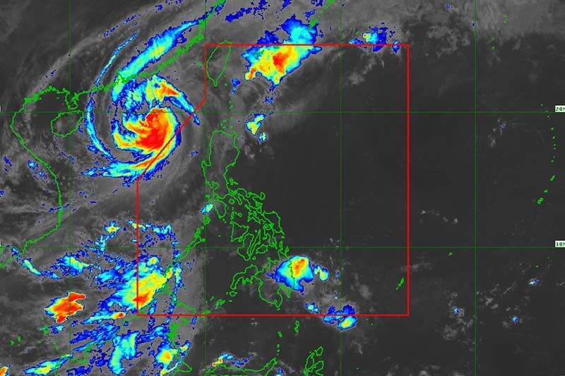
'Queenie' weakens into tropical depression

MANILA, Philippines — Cyclone Queenie has weakened into a tropical depression while moving over the Philippine Sea but it may still bring rains to parts of Mindanao, the state weather bureau said Tuesday.
The tropical cyclone will continue to weaken and may become a remnant low within 12 hours “due to unfavorable environment conditions,” PAGASA said in a bulletin issued at 11 a.m.
Queenie was last seen 490 kilometers east of Davao City or 425 km east southeast of Hinatuan in Surigao del Sur, with peak winds of 45 km an hour and gusts of up to 55 km an hour.
It was moving west slowly.
What to expect
Light to moderate with at times heavy rains may affect Caraga and Davao Oriental. PAGASA warned that flooding and rain-induced landslides are possible, especially in areas that are highly susceptible to these hazards and in localities with significant antecedent rainfall.
Severe Tropical Storm Paeng (Nalgae) triggered flash floods and landslides in Mindanao and Visayas, killing at least 110 people.
The National Disaster Risk Reduction and Management Council estimated that Paeng’s damage to agriculture has hit nearly P1.3 billion, while its damage to infrastructure has reached P760 million.
The hoisting of wind signals over the eastern portion of Caraga and parts of eastern Visayas is now unlikely due to the further weakening of Queenie.
Moderate to rough seas (1.5 to 3 meters) may prevail over the eastern seaboard of Mindanao in the next 24 hours due to the influence of the tropical depression. These conditions may be risky for those using small seacrafts.
Queenie’s track
- Nov 1, 2022 8:00 p.m. - 480 km east of Davao City, Davao del Sur
- Latest
- Trending


