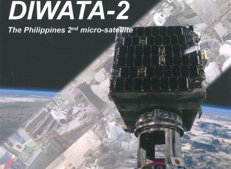
Diwata-2 nears end of mission

MANILA, Philippines — Diwata-2, the country’s microsatellite in space orbit, may have at least one more year left in its mission with just about six percent of the Philippines’ land mass remaining for it to capture in images, the Philippine Space Agency (PhilSA) said.
This update was given by PhilSA as the microsatellite designed and assembled by Filipino engineers with the help of Japanese space experts marks its fourth year in space today.
Diwata-2 was built by researchers and engineers from the University of the Philippines-Diliman and the Department of Science and Technology-Advanced Science and Technology Institute (DOST-ASTI) in cooperation with Tohoku University and Hokkaido University in Japan under the Philippine Scientific Earth Observation Microsatellite (PHL-Microsat) Program of the DOST.
It was successfully deployed into 600-km sun-synchronous orbit (SSO orbit) on Oct. 29, 2018 and carries optical cameras for scientific Earth observation.
Since then, the second 50-kilogram Earth observation microsatellite of the Philippines has captured over 112,049 images around the world and covered 94.03 percent or 282,088 kms of the Philippine landmass.
These are utilized for its mission of environmental and natural resource monitoring as well as disaster response and management.
Tricia Denise Zafra, PhilSA Public Relations and Information Division chief, said that there is reason to hope that Diwata-2 could remain in orbit and continue capturing images of the Philippines’ terrestrial space beyond its five-year projected life.
“The actual lifespan could be longer as in the case of Diwata-1,” Zafra told The STAR, noting that Diwata-1, the Philippines’ first microsatellite, ended its Earth observation mission in 2020 after four years in space.
“As part of its satellite operations, PhilSA regularly monitors the satellite’s vitals through simulations and assessments, which is integral to the mobilization of spaceborne data by end-users,” Zafra said.
In its fifth year in orbit, Diwata-2 is expected to continue to orbit the Earth at 7.560 km/s at 602.8 km altitude, capturing thousands more images for environmental monitoring and disaster response and management.
The satellite is also expected to cover and capture the remaining 5.97 percent of the country’s landmass using its spaceborne multispectral imager (SMI) payload next year.
- Latest
- Trending


