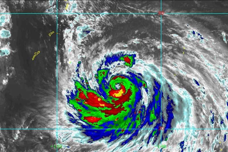
Typhoon Nanmadol to enter PAR Friday

MANILA, Philippines (Updated 11:36 a.m.) — Typhoon Nanmadol has rapidly intensified ahead of its brief entry to the Philippine Area of Responsibility, state weather bureau PAGASA said Friday.
Nanmadol was last seen 1,465 kilometers east northeast of Northern Luzon with peak winds of 165 kph near the center and gusts of up to 170 kph.
Heading west northwest at 10 kph, the typhoon is expected to enter PAR this afternoon. It will be called “Josie” once it is inside the country’s jurisdiction.
PAGASA said that Nanmadol may reach super typhoon category within 24 hours.
But it will not have any direct impact to the country because it is forecast to remain far from the country’s landmass. The tropical cyclone is also expected to exit the PAR region Friday evening or early Saturday morning.
The typhoon, however, is enhancing the southwest monsoon that will bring rains over the western sections of Southern Luzon and Visayas in the next 24 hours.
The enhanced southwest monsoon may also bring gusty conditions reaching strong to gale-force strength over Visayas, MIMAROPA, Bicol region, and the northern and western portions of Mindanao.
Nanmadol’s track
- September 16, 8 PM: 1,330 km east northeast of Extreme Northern Luzon
- September 17, 8 AM: 1,235 km east northeast of Extreme Northern Luzon (Outside PAR)
- September 17, 8 PM: 1,220 km northeast of Extreme Northern Luzon (Outside PAR)
- September 18, 8 AM: 1,300 km northeast of Extreme Northern Luzon (Outside PAR)
- Latest
- Trending


