Tropical cyclone forecast to enter PAR on Tuesday maintains strength
MANILA, Philippines — The tropical depression set to enter the Philippine area of responsibility on Tuesday has maintained its strength as it threatens to dump rains in the central Philippines, state weather bureau PAGASA said.
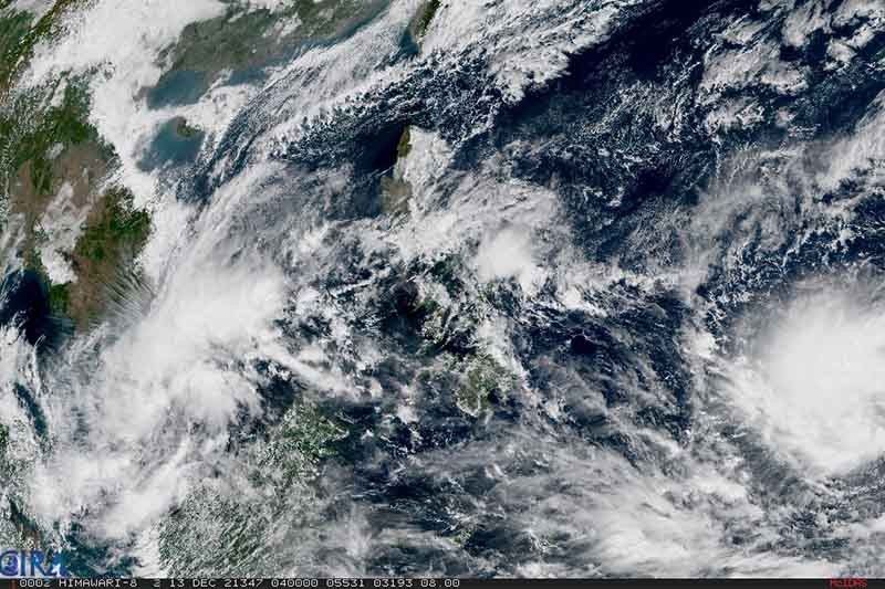
In its Monday advisory, PAGASA said the tropical cyclone, to be given the name “Odette” once it enters PAR, continues to move west northwestward and is seen to enter Philippine jurisdiction as a severe tropical storm on Tuesday evening.
As of 10 a.m., the tropical depression was 1,760 km east of Mindanao, still outside PAR. It continues to move westward at 10k km/h. It packs maximum sustained winds of 55km/hour near center and gustiness of up to 70km/h.
PAGASA said it forecasts the tropical storm will continue on a west northwestward movement until Wednesday morning, then will turn westward and may hit land in the vicity of Caraga or Eastern Visayas by Thursday afternoon or evening.
“This tropical cyclone is forecast to gradually intensify within the forecast period and may reach typhoon category by Wednesday. [P]eak intensity of around 150km/hour may be reached prior to landfall,” the state weather bureau added
“Current track and intensity shows that there is a high likelihood that Tropical Cyclone Wind Signals will be hoisted for Visayas, large portions of Mindanao and several provinces in South Luzon due to the threat of strong to typhoon-force winds,” the advisory also read.
Signal No.3 winds possible
PAGASA said that tropical cyclone wind signal to be hoisted may reach Signal No. 3. They may also place eastern portions of Visayas and Mindanao under TCWS No. 1 as early as Tuesday afternoon or evening.
It added that the tropical cyclone may bring heavy rainfall over Visayas, large portions of Mindanao and several provinces in southern Luzon. Coastal inundation dye to high waves and storm surge are also possible for low-lying areas.
“Residents over the northern and eastern portions of Northern Luzon and eastern portion of Central Luzon are also advised to monitor for updates regarding possible heavy rainfall which may occur in relation to the behavior of the shear line during and after the passage of this tropical cyclone,” PAGASA added.
The state weather bureau also advised public and disaster risk reduction and management offices to continue monitoring for updates.
Forecast position, intensity
- Monday evening: 1,595 km east of Mindanao (outside PAR), as tropical storm
- Tuesday morning: 1,375 km east of Mindanao (outside PAR), as tropical storm
- Tuesday evening: 1,020 km east of Mindanao (outside PAR), as severe tropical storm
- Wednesday morning: 760 km east of Hinatuan, Surigao del Sur, as typhoon
- Wednesday evening: 575 km east of Surigao City, Surigao del Norte, as typhoon
- Thursday morning: 290 km east of Surigao City, Surigao del Norte, as typhoon
- Friday morning: over the coastal waters of Cauayan, Negros Occidental, as typhoon
- Saturday morning: 200 km northwest of Puerto Princesa City, Palawan, as typhoon
— Kristine Joy Patag


- Latest
- Trending