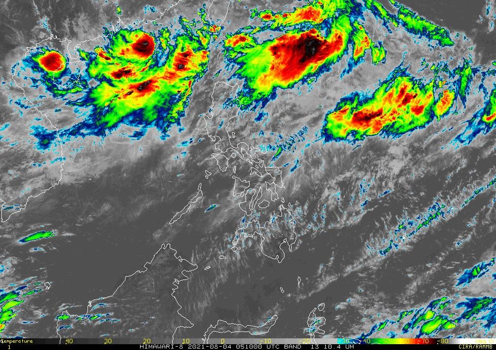
LPA inside Philippines develops into Tropical Depression Gorio

MANILA, Philippines — Weather bureau PAGASA on Wednesday said a low pressure area off Batanes has developed into a tropical depression that would now be called "Gorio."
The agency in its latest bulletin reported that Gorio was last seen at 730 kilometers east northeast of Itbayat in the said province.
It currently has 45 kilometers per hour maximum sustained winds, and gustiness of up to 55 kph.
The seventh storm to enter the country this year moves east northeast at a speed of 20 kph. Gorio is expected to keep traversing in that direction in the next 12 hours, and would shift north northeastward tomorrow morning.
PAGASA said there are no storm signals yet in any part of the Philippines.
State weather forecasters added it is unlikely to directly affect weather condition in its forecast period.
Still, the southwest monsoon or the habagat could bring moderate to heavy rains over Ilocos Region, Cordillera Administrative Region, as well as in some parts of the western parts of Central and Southern Luzon.
Gorio is forecast to become a tropical storm in the next 12 hours, but may exit the Philippine Area of Responsibility by Thursday morning.
"Considering these developments, the public and disaster risk reduction and management offices concerned are advised to take all necessary measures to protect life and property," the PAGASA said.
The agency also advised individuals living in areas identified as highly or very highly susceptible to the said hazards to follow evacuation protocols and other instruction from their local officials.
Forecast position
- Thursday morning: 855 km northeast of extreme northern Luzon
- Friday morning: 1,210 km northeast of extreme northern Luzon
- Saturday morning: 1,765 km northeast of extreme northern Luzon (Outside PAR)
- Latest
- Trending


