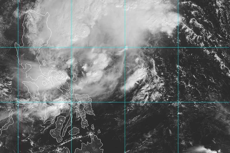
‘Ramon’ slows down on its way to land

MANILA, Philippines — Tropical Storm Ramon (Kalmaegi) has slightly slowed down early Thursday morning as it spins its way toward the Luzon landmass.
“Ramon” was spotted either at 355 kilometers east of Legazpi City, Albay or at 300 km east of Virac, Catanduanes.
Maximum sustained winds were at 65 km per hour and gusts were up to 80 kph. It is heading west northwest at 10 kph from the previous 15 kph.
Latest forecast track shows it could make landfall in the Isabela-Cagayan area between Saturday evening and early Sunday morning.
Tropical Cyclone Wind Signal No. 2 remains hoisted over Catanduanes. Meanwhile, TCWS No. 1 is still raised over Camarines Norte, Camarines Sur, Albay, Sorsogon, Eastern Samar and Northern Samar.
PAGASA said TCWS No. 1 may be raised over Polillo Islands, northern Aurora and Eastern Isabela in the next bulletin.
Classes were suspended in some areas due to the inclement weather brought by “Ramon.”
The tropical storm will dump light to moderate with intermittent heavy rains over Bicol region and the eastern portions of Isabela and Cagayan.
By Friday, those living in the eastern portion of Cagayan and Isabela will experience light to moderate with occasional heavy rains. Meanwhile, light to moderate with intermittent heavy rains will affect Apayao, Quirino, Northern Aurora and the rest of Cagayan and Isabela.
The state weather bureau also advised against sea travel over the seaboards of areas under TCWS, the seaboards of Northern Luzon, and the eastern seaboards of Aurora and Quezon including Polillo Islands.
Forecast positions
- Friday morning: 175 km north northeast of Virac, Catanduanes or 330 km east of Infanta, Quezon
- Saturday morning: 250 km east of Baler, Aurora
- Sunday morning: In the vicinity of Ilagan, Isabela
- Monday morning: In the vicinity of Paoay, Ilocos Norte
- Tuesday morning: 160 km west of Laoag, Ilocos Norte
— Gaea Katreena Cabico
- Latest
- Trending


