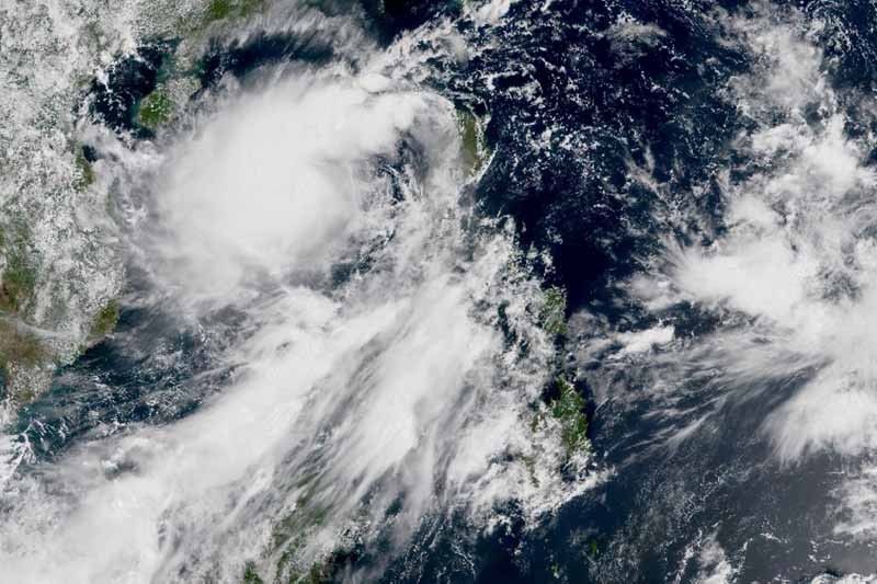
‘Jenny’ back to tropical storm category; warning signals lifted

MANILA, Philippines — “Jenny” (Podul) has re-intensified into a tropical storm Wednesday morning as it continues to move away from the Philippine landmass.
“Jenny” became a tropical storm anew at 8 a.m., state weather bureau PAGASA said. It made a landfall over Casiguran, Aurora Tuesday evening and weakened into a tropical depression.
“Jenny” was last spotted 305 kilometers west northwest of Dagupan City, Pangasinan or 290 km west of Sinait, Ilocos Sur. It packs maximum sustained winds of up to 65 kph near the center and gusts of up to 80 kph.
Heading west northwest at 40 kph, the fast-moving “Jenny” is seen to exit the Philippine Area of Responsibility between 11 a.m. and 2 p.m. Wednesday.
Warning signals lifted
All tropical cyclone wind signals, however, have been lifted as “Jenny” makes its way out of the country’s jurisdiction.
Weather forecasters, however, said occasional gusts may occur in Visayas and in other areas of Luzon due to the southwest monsoon.
Residents of Western Visayas, Zamboanga Peninsula, Mindoro provinces, Romblon and Palawan (including Calamian and Cuyo Islands) will experience light to moderate with intermittent heavy rains due to southwest monsoon.
Meanwhile, scattered rains may affect Ilocos region, Bangsamoro, Zambales and Bataan.
Sea travel is risky over the seaboards of Luzon and the western seaboard of Visayas.
Forecast position
- Thursday morning: 825 km west of Sinait, Ilocos Sur (outside PAR)
— Gaea Katreena Cabico
- Latest
- Trending


