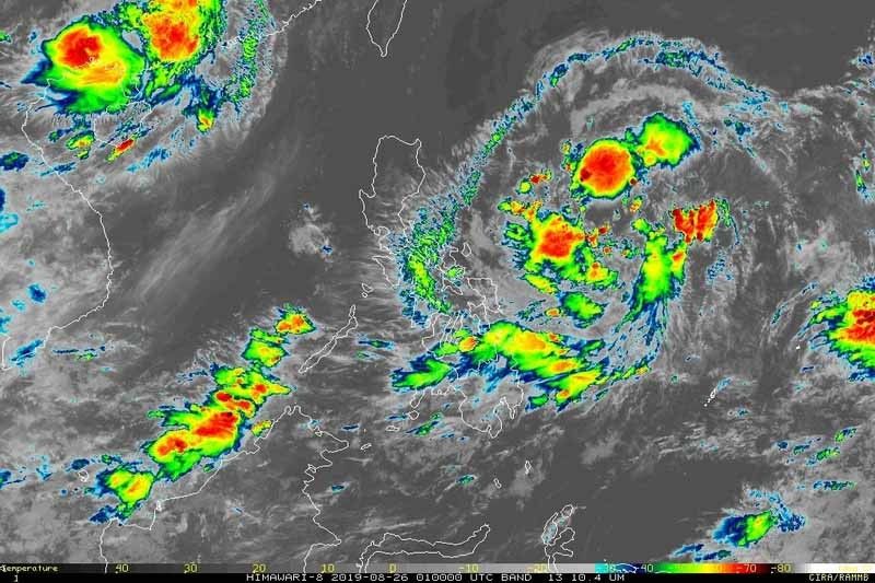
Potential tropical depression now in Philippine Area of Responsibility

MANILA, Philippines — A low pressure area expected to develop into the country's 10th tropical cyclone this year entered the Philippine Area of Responsibility early Monday morning.
PAGASA said the LPA was last seen 770 kilometers east of Guiuan, Eastern Samar.
The LPA could intensify into a tropical depression within the next 24 to 36 hours. If it does, the weather disturbance would be given the local name Jenny.
According to initial models, the potential tropical depression could affect Northern Luzon and is seen to make landfall.
PAGASA also said the southwest monsoon or habagat is currently affecting Southern Luzon and the Visayas.
Residents of MIMAROPA, the Bicol region, the Visayas, CARAGA, Northern Mindanao and the Zamboanga Peninsula may experience cloudy skies with scattered rainshowers and thunderstorms today due to the effects of southwest monsoon or the extension of LPA.
Meanwhile, Metro Manila and the rest of the country will have partly cloudy to cloudy skies with isolated rainshowers.
Tropical Storm Ineng (Bailu) left the PAR over the weekend. The heavy flooding and landslides it triggered left at least two people dead in Ilocos Norte.
- Latest
- Trending


