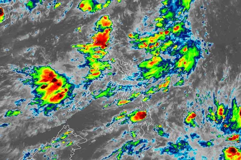
2 LPAs spotted as ‘Dodong’ is seen to exit PAR

MANILA, Philippines — Weather forecasters are monitoring two weather disturbances in waters off Palawan and Mindanao as Tropical Depression Dodong on its way out of the Philippine Area of Responsibility.
In a briefing past 5 p.m., state weather bureau PAGASA said it has spotted a low pressure area—previously a cloud cluster—1,680 kilometers east of Mindanao, still outside the PAR.
The LPA has a low chance of developing into a tropical depression within 24 to 48 hours but it may enter the PAR by Saturday.
PAGASA is also monitoring another LPA inside the country’s jurisdiction. It was last seen 235 kilometers west northwest of Coron, Palawan.
While it is not expected to develop into a tropical cyclone and may dissipate in the next 12 or 24 hours, the LPA will enhance the southwest monsoon or habagat.
‘Dodong’ may exit Wednesday night
With a faster speed of 30 kph, “Dodong” is forecast to leave the country’s jurisdiction between 7 p.m. and 9 p.m. on Wednesday. It was last spotted at 755 km east northeast of Basco, Batanes.
It packs maximum sustained winds of up to 60 kph and gusts of up to 40 kph.
Despite its exit, “Dodong” will still enhance the southwest monsoon.
Monsoon rains will affect Metro Manila, Zambales, Bataan, Pampanga, Bulacan, Cavite, western Batangas, Mindoro provinces, northern Palawan including Calamian and Cuyo groups of islands, Aklan, Antique, western Capiz, western Iloilo and Guimaras on Wednesday.
- Latest
- Trending


