


'Chedeng' keeps strength as it heads to Davao region
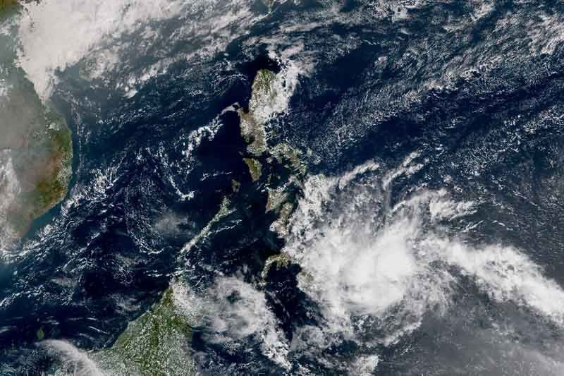
MANILA, Philippines (Updated 2:35 p.m.) — Tropical depression Chedeng maintained its strength as it continued to head toward the Davao region, state weather bureau PAGASA said Monday.
As of 1 p.m., “Chedeng” was seen at 370 kilometers east southeast of Davao City. It carries maximum sustained winds of 45 kilometers per hour near the center and gusts of up to 60 kph.
Chedeng is now moving west southwest at 20 kph from the previous 15 kph.
Chedeng, which is moving west at 20 kph, is expected to make landfall over the eastern coast of Davao Oriental on Tuesday morning. It is seen to weaken into a low pressure area while crossing Mindanao, PAGASA said.
Tropical Cyclone Warning Signal No. 1 has been hoisted over:
- Davao Oriental
- Compostela Valley
- Davao del Sur
- Davao City
- General Santos City
- Davao Occidental
- Southern portion of Davao del Norte including Samal Island
- Easter portion of North Cotabato
- Eastern portion of South Cotabato
- Eastern portion of Sarangani
Winds from 30 to 60 kph or intermittent rains may be expected in these areas within 36 hours.
The state weather bureau said that scattered to at times widespread moderate to heavy rains will prevail over Caraga and Davao regions, particularly Surigao del Sur, eastern portion of Agusan del Sur, Davao Oriental and Compostela Valley.
For Tuesday, scattered to at times widespread moderate to heavy rains may be experienced over parts of Davao region, SOCCSKSARGEN, Bangsamoro Autonomous Region in Muslim Mindanao and Zamboanga Peninsula.
PAGASA advised those with small sea vessels not to venture out over the eastern seaboards of Visayas and Mindanao, as well as the seaboards of areas under Tropical Cyclone Warning Signals.
Forecast positions
- Tuesday morning: 20 km north of General Santos City
- Wednesday morning: 110 km west southwest of Zamboanga City
— Gaea Katreena Cabico


- Latest
- Trending


