PAGASA: Typhoon Paeng not as powerful as ‘Ompong’

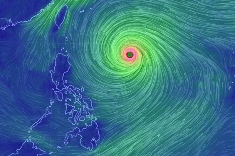
MANILA, Philippines — Typhoon Paeng (international name: Trami)—which will threaten Ompong-hit northern Luzon—is not expected to be as devastating, state weather bureau PAGASA said Monday.
PAGASA administrator Vicente Malano said “Paeng” will have a weaker effect on the country as it is not forecast to hit the Philippine landmass unlike “Ompong,” which barreled into the northern part of the country mid-September.
While the typhoon is expected to grow stronger to between 200-205 kilometers per hour before it leaves the Philippine area of responsibility, “Paeng” will not bring heavy rains, Malano said.
“Kung sa hangin naman, dahil malayo siya sa landmass na dadaanan ay hindi ganun kalakas ‘yung magiging epekto sa mga structure (In terms of wind, structures will not be affected as much because the storm is far from the landmass),” he added.
As of 10 a.m., the eye of “Paeng” was located 975 kilometers east of Tuguegarao City, Cagayan. It packs maximum sustained winds of 170 kilometers per hour near the center and gust of up to 210 kilometers per hour.
It is moving west northwest at 20 kph.
PAGASA forecaster Aldczar Aurelio said the typhoon will traverse slowly starting Tuesday but it will accelerate by Friday.
“Paeng” may affect the area of Batanes-Babuyan Groups of Islands beginning Froday.
The state weather bureau said it may raise tropical cyclone warning signals over extreme Northern Luzon between Thursday and Friday.
It may also issue gale warning over the seaboards of Northern Luzon and eastern seaboard of Central Luzon as the typhoon approaches.
Forecast positions
- Tuesday morning: 755 kilometers of Basco, Batanes
- Wednesday morning: 725 kilometers east of Basco, Batanes
- Thursday morning: 680 kilometers east of Basco, Batanes
- Friday morning: 490 kilometers east northeast of Basco, Batanes
- Saturday morning: 390 kilometers north northeast of Basco, Batanes
- Latest
- Trending


