Low-pressure area to enter Philippines, bring rains in Mindanao

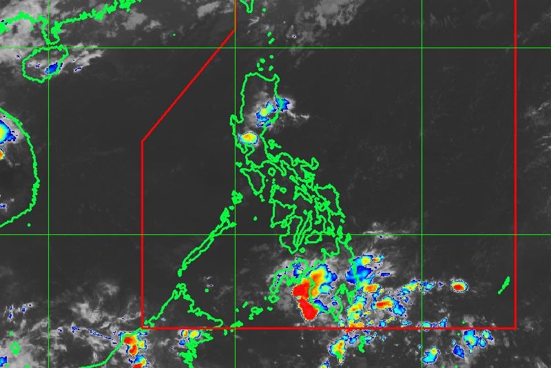
MANILA, Philippines — A low-pressure area is expected to enter the Philippine area of responsibility within the next 24 to 48 hours, but state weathermen said it is unlikely to make landfall in any part of the country.
Samuel Duran, weather forecaster at the Philippine Atmospheric, Geophysical and Astronomical Services Administration (PAGASA), said the low-pressure area was spotted at 1,540 kilometers east of Mindanao around noon yesterday.
Duran said the weather system has a slim chance of intensifying into a cyclone.
The trough or extension of the low-pressure area, however, was forecast to bring moderate to heavy rains over Caraga and Davao regions that may trigger flooding and landslides.
The easterlies would continue to bring hot and humid weather over the rest of the country, including Metro Manila, with possible thunderstorms in the afternoon or evening.
Duran said there are previous instances of low-pressure areas developing during the dry season. However, these seldom intensify into cyclones, while a few that did had “recurved” and did not hit the Philippine landmass.
PAGASA officially announced the start of the dry season last April 10.
Last Saturday, the highest temperatures were recorded in Cabanatuan, Nueva Ecija and Tuguegarao, Cagayan at 37 degrees Celsius and 38 degrees Celsius, respectively.
Metro Manila, meanwhile, experienced its hottest day at 35 degrees Celsius last Friday.
- Latest
- Trending


