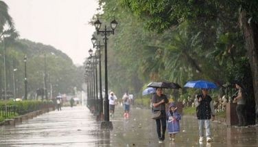
Potential storm may bring rains over Luzon, Visayas
MANILA, Philippines – A potential storm was spotted east of extreme Northern Luzon yesterday, which the weather bureau said may bring rains over the western sections of Luzon and Visayas by midweek.
Glaiza Escullar, weather forecaster of the Philippine Atmospheric Geophysical and Astronomical Services Administration (PAGASA), said the low-pressure area (LPA) was forecast to enter the Philippine area of responsibility tomorrow or on Wednesday.
As of 4 p.m. yesterday, the LPA was spotted at 1,860 kilometers east of extreme Northern Luzon.
Escullar said there is high probability that the LPA will intensify into a tropical cyclone and enhance the southwest monsoon.
“If the LPA intensifies into a cyclone and enhance the southwest monsoon, light to moderate rains are expected over the western sections of Luzon and Visayas by late Wednesday,” she said.
The brewing cyclone, which will be locally named Jenny, is not expected to make landfall, Escullar said.
But Escullar said the southwest monsoon, which was being enhanced by Typhoon Kilo over the Central Pacific Ocean, will continue to bring rains in Palawan, Western Visayas and Mindanao in the next three to five days.
The rest of the country, including Metro Manila, will have partly cloudy skies with isolated thunderstorms, she said.
- Latest
- Trending


