‘Falcon’ to dump rains in Cebu

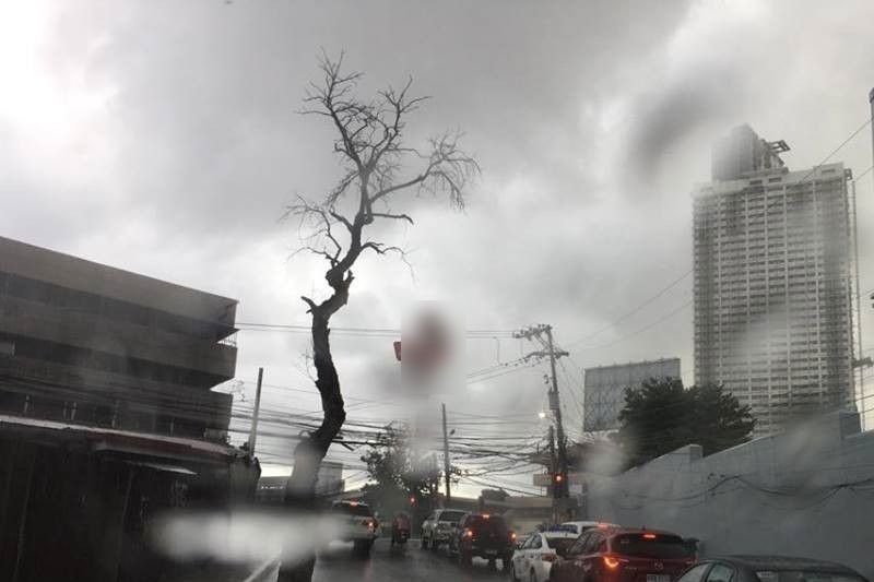
CEBU, Philippines — Tropical Depression “Falcon” entered the Philippine Area of Responsibility (PAR) yesterday morning and is expected to bring cloudy skies in Cebu and the rest of Central Visayas this week, the state weather bureau said.
Alfredo Quiblat Jr., chief of the Philippine Atmospheric, Geophysical, and Astronomical Services Administration-Visayas, said that the bureau expects light to moderate thunderstorms that can bring heavy rains in Cebu today and in the upcoming days.
As of 10 a.m. Monday, Falcon was spotted 940 km east of northeast Virac, Catanduanes, according to PAGASA’s Severe Weather Bulletin #2 yesterday.
Although Falcon is far from a landmass, the trough or the “extension” brought about by Falcon can still bring an indirect effect to Cebu and the rest of the Visayas, said Quiblat.
Quiblat added that weather may slightly improve Wednesday in Eastern and Central Visayas, but there is a possibility that Falcon may develop into tropical storm by Thursday and affect Western Visayas just when the weather disturbance is projected to exit the PAR.
Since there is a possibility of heavy rains in Cebu, Quiblat said that there is also a chance for flooding and landslides to occur. Thus, he warned those living in high-risk areas to take precaution.
Falcon is moving in a northwest direction, heading to the extreme northern Luzon where it may intensify to a tropical storm and possibly make landfall on Wednesday.
It is moving 25 kph with maximum sustained winds of 45 kph near the center and gustiness of up to 60 kph. (FREEMAN)
- Latest


