PAGASA: Tropical Depression Henry to leave PAR by Tuesday
MANILA, Philippines (Updated 3:00 p.m.) —The fast-moving Tropical Depression Henry will exit the Philippine Area of Responsibility by Tuesday morning, state weather bureau PAGASA said.
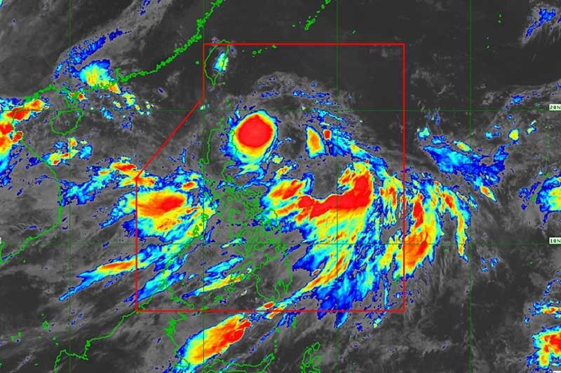
PAGASA reported in its 2 p.m. bulletin that “Henry” was last located at 300 kilometers east of Calayan, Cagayan. It is expected to make landfall in northern Cagayan Monday evening.
The tropical depression has maintained its maximum sustained winds of 55 kilometers per hour and gustiness of up to 65 kilometers per hour while moving toward extreme Northern Luzon.
Tropical Depression Henry maintained its speed at 25 kilometers per hour while moving westward.
Tropical Cyclone Warning Signal No. 1 remains hoisted over Batanes and the northern parts of Apayao, Ilocos Norte and Cagayan including Babuyan Group of Islands.
Occasional rains with gusty winds are expected over these areas, the state weather bureau said.
Residents of Metro Manila, Zambales, Bataan, Cavite, Batangas, Mindoro provinces, Palawan and western Visayas should brace for possible flash floods and landslides due to the southwest monsoon or habagat enhanced by “Henry.”
Forecast positions
- Tuesday morning: 510 kilometers west of Calayan, Cagayan
- Wednesday morning: 1,405 kilometers west of Calayan, Cagayan


- Latest
- Trending